Orthomosaic
A stitched, georeferenced top-down image delivered as a GeoTIFF for site context and downstream mapping work.
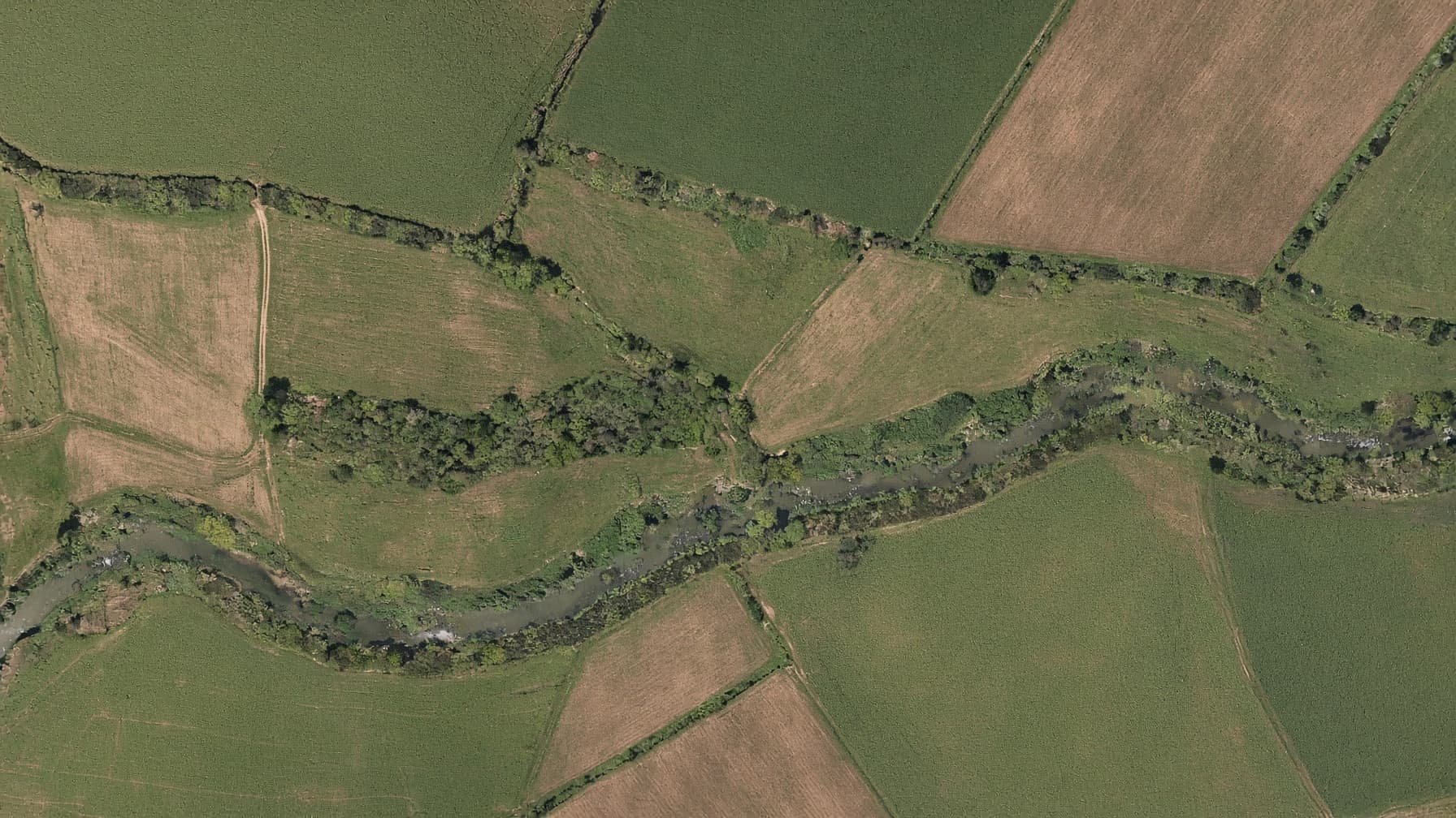
Autonomous grid flights processed into orthomosaics, surface models, point clouds, and textured site models. Deliverables are scoped to the people and software using them next.
Aerial capture and documentation files. Not a Professional Engineer (PE) stamp, not a land survey, and not an insurance certification.
Scope a mapping jobDeliverables
The output is selected before flight so the capture plan matches the required resolution, overlap, and file format.
A stitched, georeferenced top-down image delivered as a GeoTIFF for site context and downstream mapping work.
A digital surface model showing relative elevation across visible terrain, structures, and stockpiles.
A dense spatial dataset and textured model for review, visualization, and compatible design workflows.
Organized source photos and flight details so the receiving professional knows how the dataset was produced.
Quote inputs
Mapping is quoted after reviewing the location and intended use. Boundary, positional, or regulated deliverables require the appropriate licensed professional.
Confirm the site, use case, coordinate needs, resolution, and receiving software.
Fly the overlap and coverage required for the selected deliverables.
Run the photogrammetry pipeline, review the outputs, and deliver organized files.
Send the address, acreage, intended use, and required file types.
Request a mapping quote